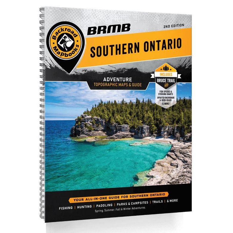
Backroad Mapbooks Southern Ontario
Backroad Mapbooks
$29.95 CAD
( / )
Unavailable
Please select all options.
-
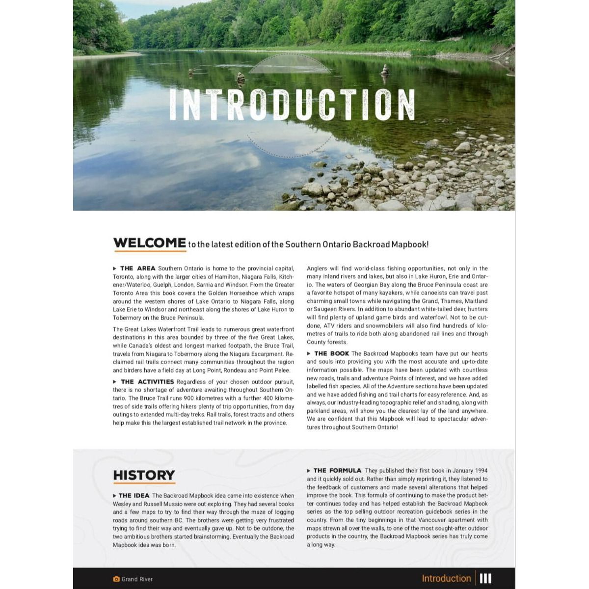
The southern reaches of Ontario contain the vibrant, cosmopolitan heart of Canada, boasting major cities like Hamilton, London and Toronto, the sights of Niagara Falls, and natural attractions such as Wasaga Beach, the world's largest freshwater beach. This Southern Ontario backcountry map book guides your way through the region that is home to Ontario's largest established trail network, hundreds of public parks and conservation areas, the popular Bruce Peninsula, and some of Ontario's most accessible river paddling routes. All of this is just a stone's throw from Canada's most populous region. Let your Southern Ontario backcountry map book show you where to hike, camp, fish, paddle, ski, snowshoe and much more, for outdoor adventures that you will not forget!
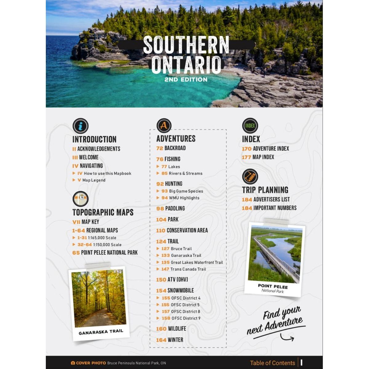
The second edition of the Southern Ontario Mapbook features clearly defined Crown land and County Forest Tracts, along with countless updated trails and roads. The Bruce Trail and Trans Canada Trail have been recharted and there are more than 350 other trails highlighted. ATV riders will find several riding areas and snowmobilers can explore over 70 trails through OFSC Regions 4, 5, 8 and 9. In addition, contact information is provided for local ATV and snowmobile clubs. Anglers will find stocking charts and information on 250 lakes and rivers, paddlers can explore 30 lake and river routes, and hunters have maps and descriptions to all 45 WMUs in the area. Rounding out the mapbook are over 40 natural and manmade attractions and museums, National and Provincial Parks, Conservation Areas and over 80 routes for winter exploration.
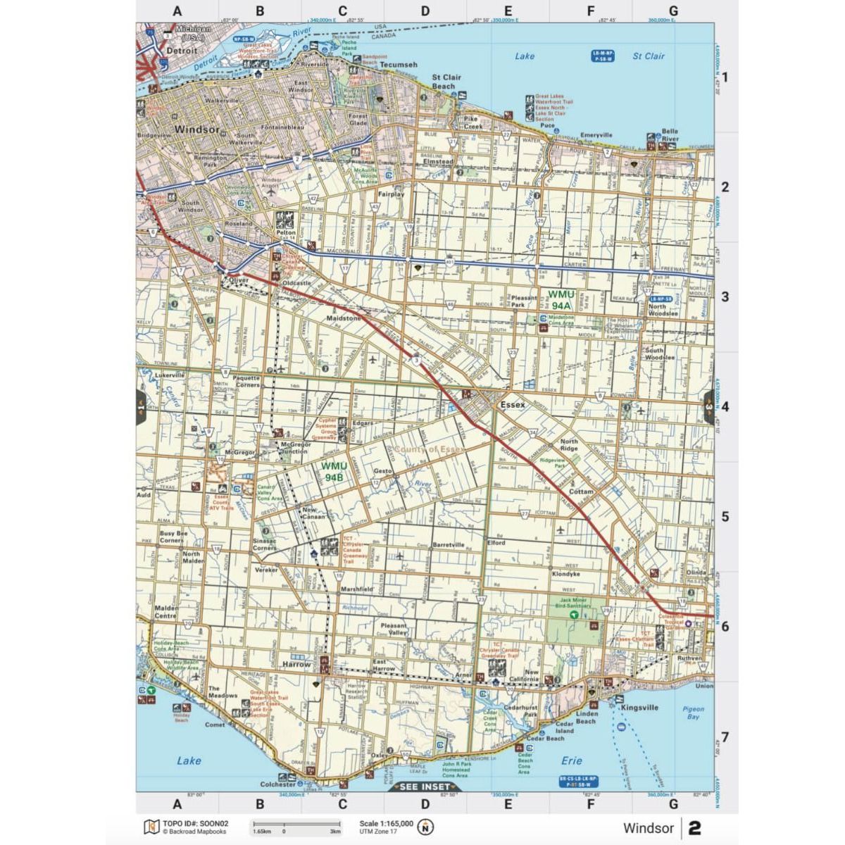
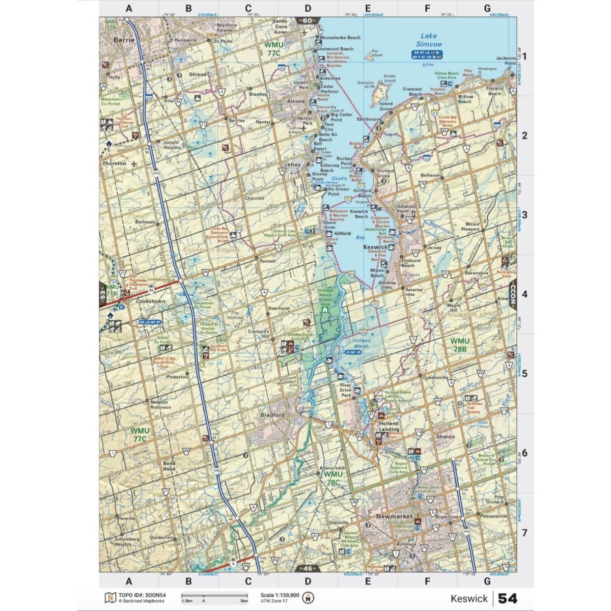
The printed version of the mapbook comes in the convenient 21.5 x 28 cm (8.5 x 11 inch) mapbook format with a heavy-duty spiral-bound cover. The 196-page book includes 65 maps ranging from the highly detailed Point Pelee National Park map to the more traditional 1:150,000 and 1:165,000 scale maps. Complimenting the maps are extensive listings for the 10 Outdoor Adventure sections, local retailers and service providers, Map and Adventure Index, Trip-Planning tools and more. With over 125,000 kilometres of roads to explore, including the most complete logging and industrial road coverage available, the books are ideal for navigating on road trips and planning from home.
-
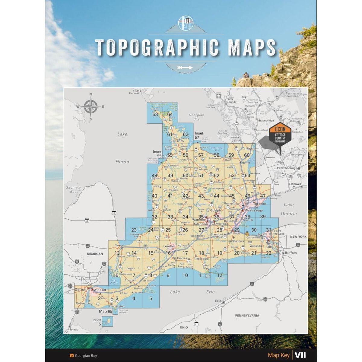
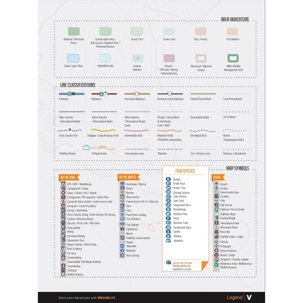
In your durable, heavy-duty, spiral-bound 21.5 cm x 28 cm (8.5" x 11") southern Ontario map book you will find 65 detailed topographic maps spanning the region, complete with labelled recreation sites, amenities, highways, backcountry roads, trails and other points-of-interest. New to this edition is labelled Crown land in the northern region, countless new County Forest Tracts, and labelled fish species for lakes and rivers. Not only are these Ontario maps user-friendly, but they boast a level of cartographic sophistication unparalleled even by government resources making them the maps of choice for search-and-rescue and other organizations.
Adventures
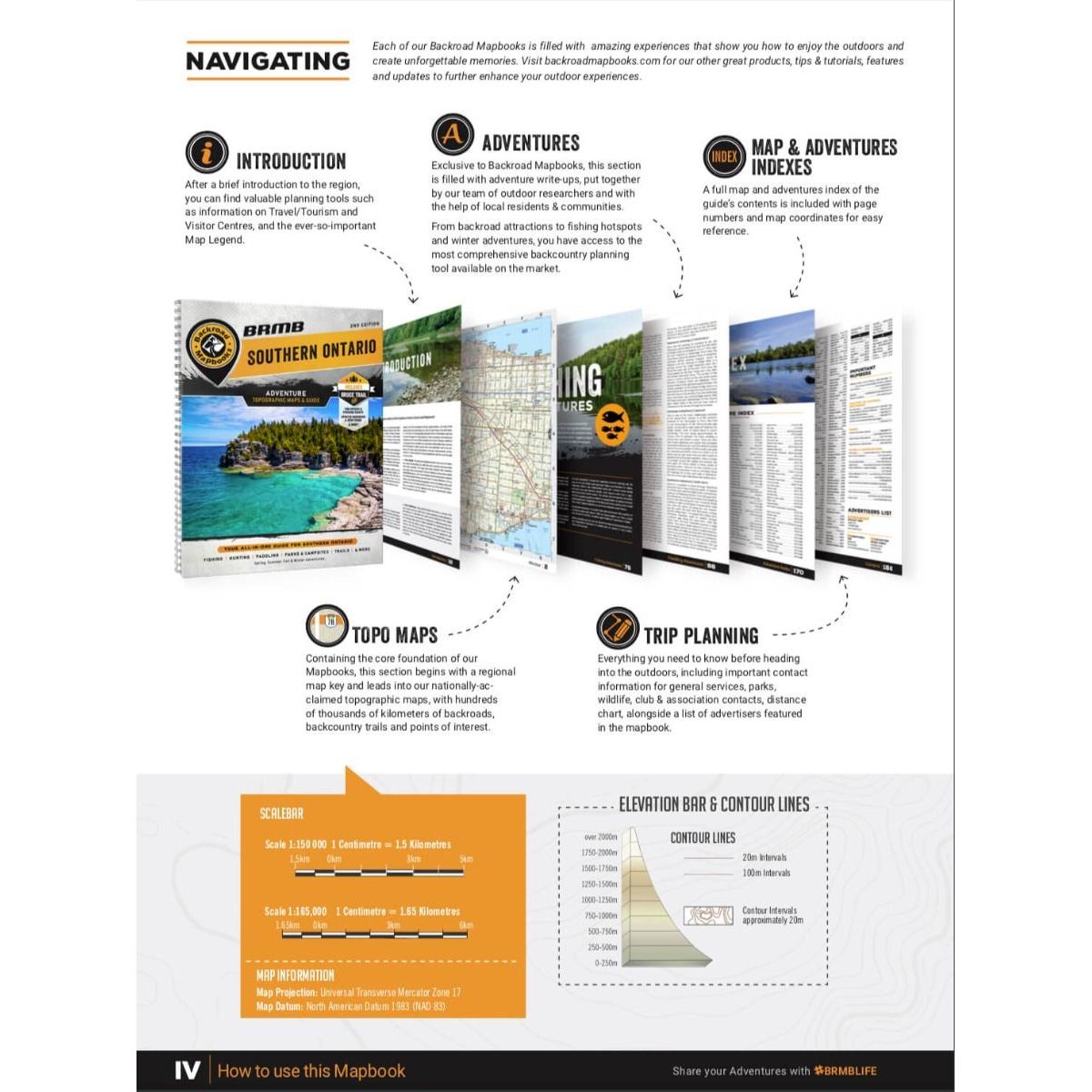
The detailed adventure section is one of the features that makes your Backroad Mapbook so much more than a map of southern Ontario. In addition to comprehensive listings with map coordinates, you will find a trip planning section for making notes on your desired adventures! No matter what your favourite outdoor activities are, we have you covered with hundreds of trail descriptions, ATV and snowmobile routes, lake and river fishing details, conservation areas and parks, backroad attractions, wildlife viewing destinations and plenty of spots to strap on ski or snowshoes come winter.
Index
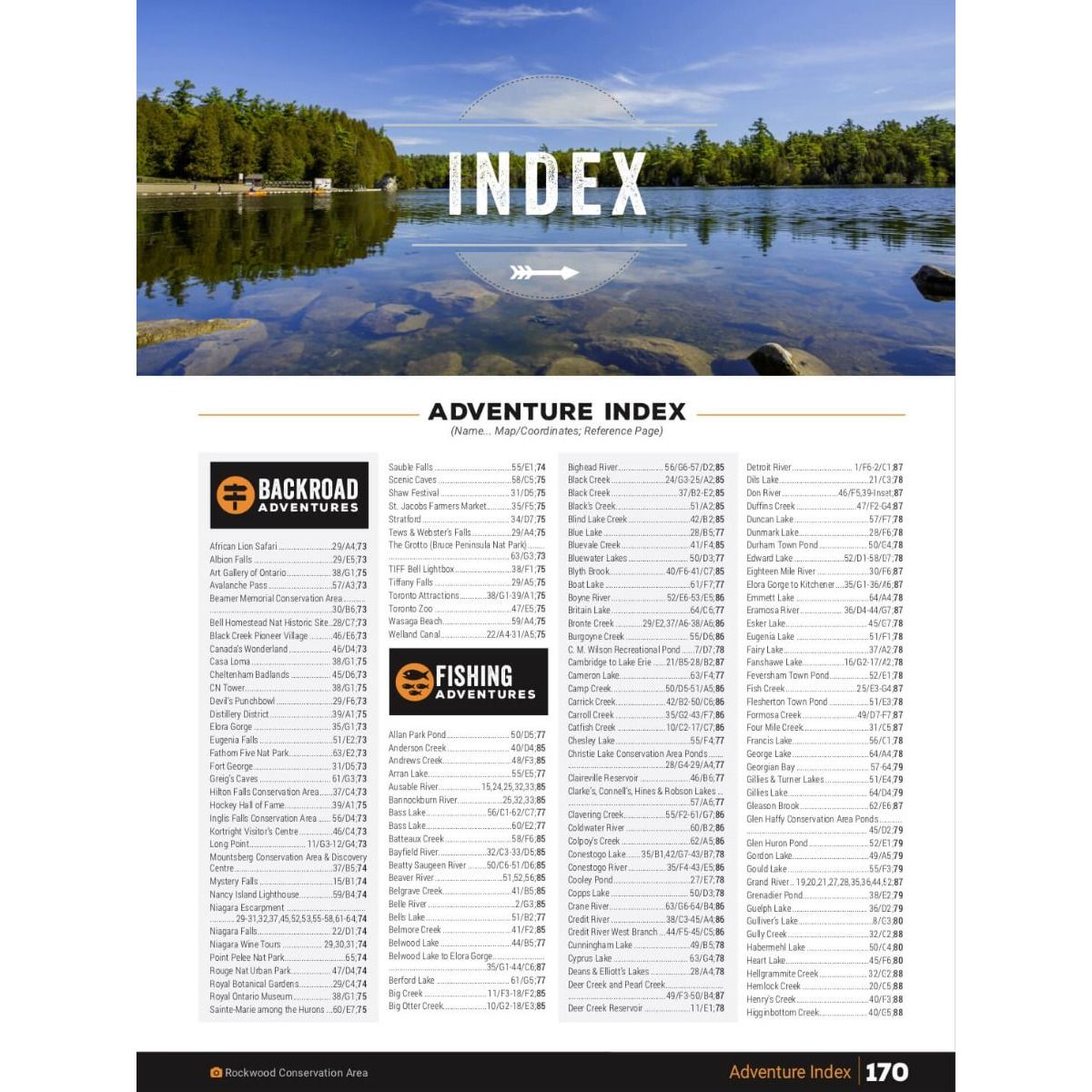
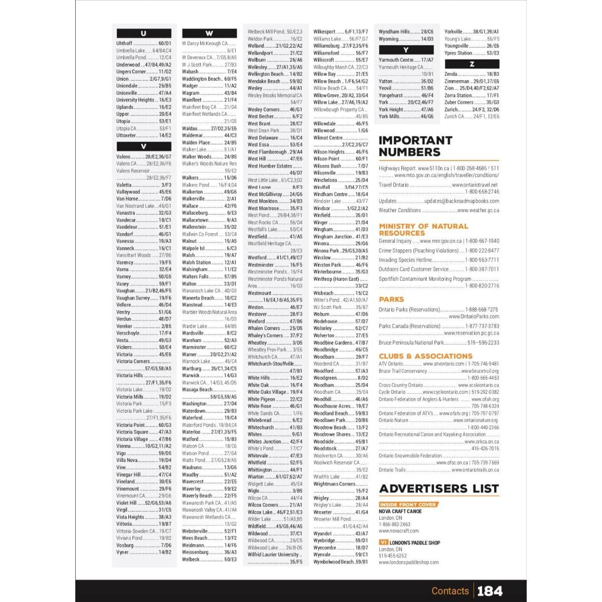
The handy index makes the Southern Ontario Backroad Mapbook a leading Ontario map in terms of functionality as well as quality. Divided into Map and Adventure sections to make it even easier to use, you will find page numbers and map coordinates for each Adventure activity to help locate cities and towns, parks, trails, lakes, rivers and attractions. There is also a section for Important Numbers and an Advertiser list for easy referencing.
-
- Released: 2022
- Pages: 196
- Dimensions: 21.5cm x 28cm (8.5" x 11")
- Map Scale: 65 maps: 33 @ 1:150,000, 31 @ 1:165,000, 1 @ 1:37,000
-
Map Features: Highways, Logging Roads, Land & Water Features, Parks, Adventure Points of Interest, Campgrounds, Hiking Trails, Motorized Trails, Paddling Routes, Hunting & Fishing Areas, Winter Recreation and more
- Areas Covered: Barrie, Brampton, Bruce Peninsula, Cambridge, Chatham-Kent, Collingwood, Guelph, Kitchener-Waterloo, Hamilton, London, Niagara Falls, Oakville, Owen Sound, Sarnia, St. Catharines, Tobermory, Toronto, Wasaga Beach, Windsor, & more
62209811008


