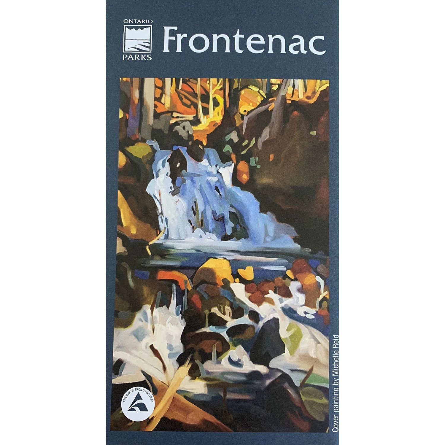
Frontenac Provincial Park Map - Waterproof - 6th Edition
Friends of Frontenac Park
$22.95 CAD
Please select all options.
Frontenac Provincial Park is a 5355 ha backcountry park located 45 minutes north of Kingston. Open year-round, it offers over 100 km of interconnected hiking trails, interior camping and various paddle routes through the Canadian Shield landscape.
Hikers, paddlers, campers need not make wrong turns in the park again with this professionally-produced map of the entire park. All trails, campsites and portages are clearly marked with contour lines to indicate terrain and elevation. The flip side of the map enriches the park experience with valuable tips and information on natural history, geology and emergency information.
The sixth edition of the Frontenac Provincial Park map came out in 2020.
Features:
- Full colour
- Trail distances table
- Portage lengths table
- Fish species by lake table
- Emergency number and park geo tagging system
- Historical sites
- Physical highlights
- Topographical elevations and contour lines
- 6th edition since 1990
- The colour topographical map scale is 1:20000, with both contour lines and shading to enhance the topographic relief.
- Common canoe routes are shown.
00010405002


