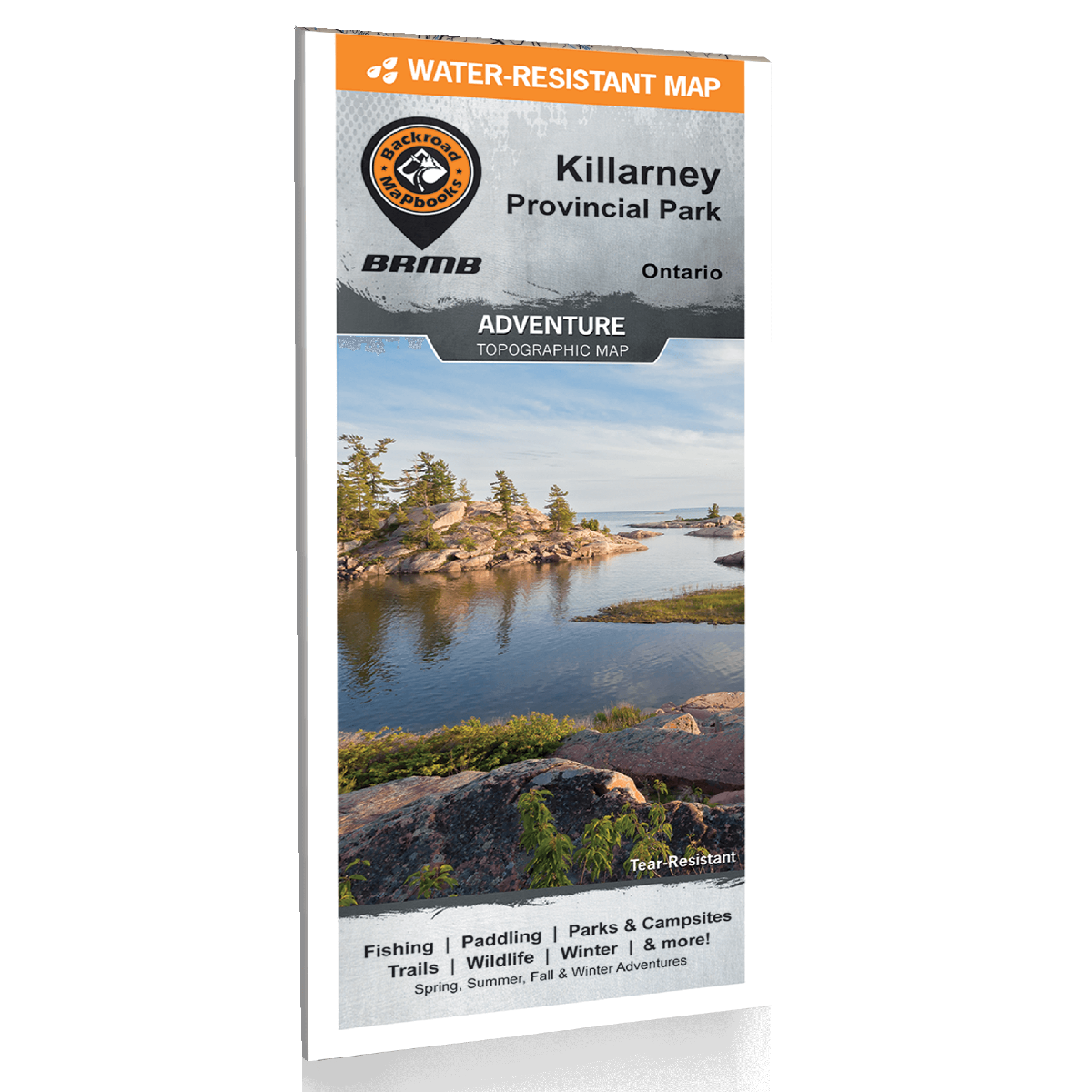
Backroad Mapbooks Killarney Map - Water-Resistant
Backroad Mapbooks
$19.95 CAD
( / )
Unavailable
Please select all options.
-

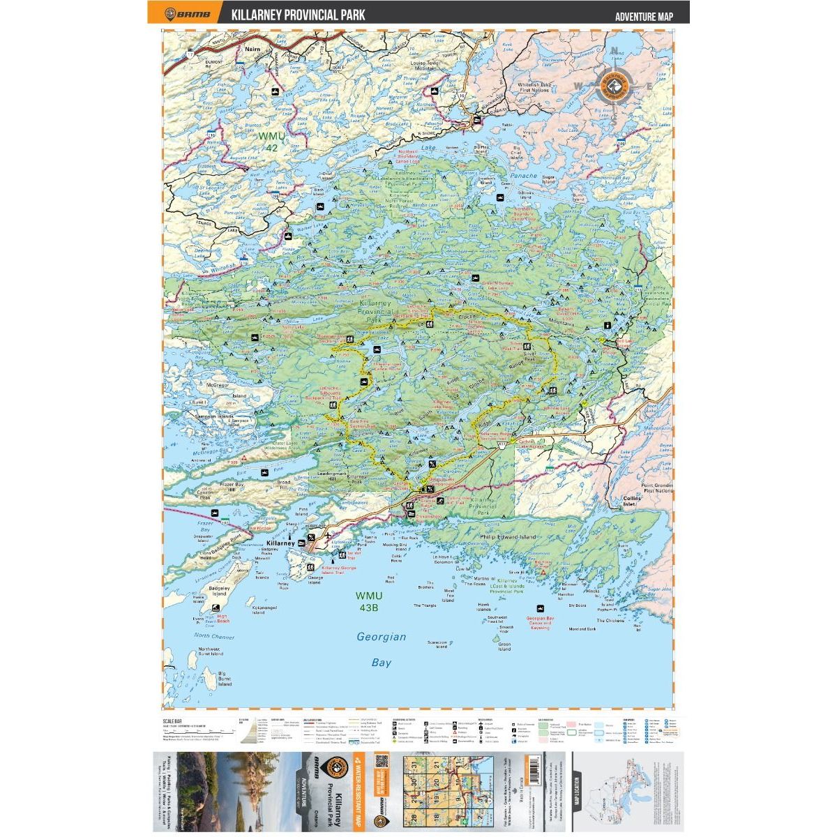
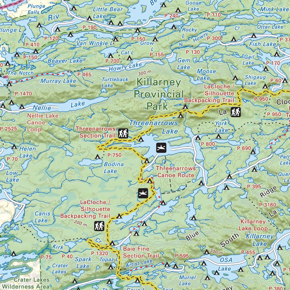
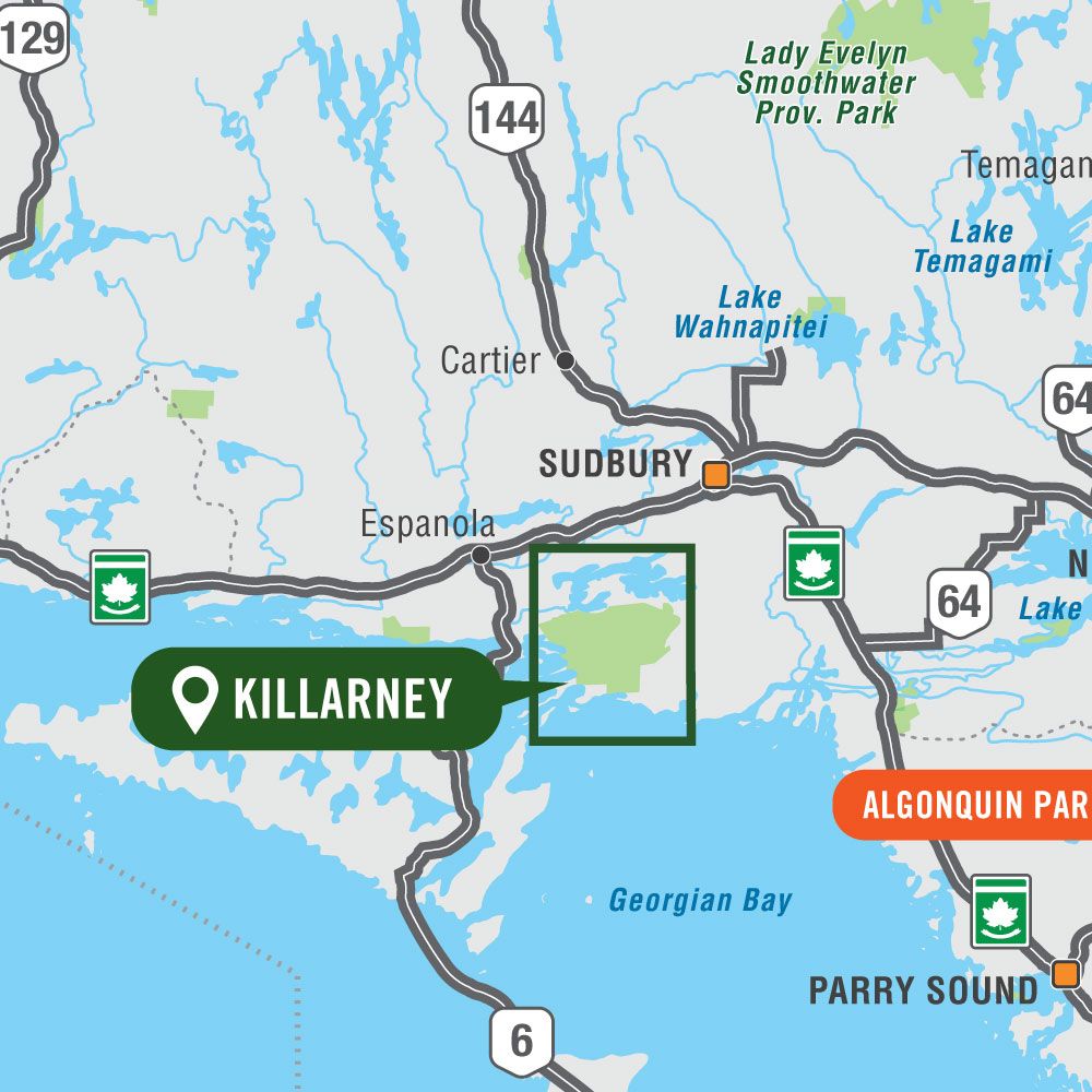
Covering Killarney Provincial Park in Northern Ontario, this map features the hiking trails, canoe routes, access points, campsites, lakes and visitor facilities. This Adventure map includes 1:10,000 water and trail data and can be used for hiking, canoeing, camping, exploring, fishing, kayaking, skiing, wildlife viewing and more! Covering 640 sq. km (247 sq. mi), this map includes Killarney Provincial Park, Killarney, Baie Fine, Bell Lake, Crooked Lake, George Lake Campground, Johnnie Lake, Kakakise Lake, La Cloche Mountains, La Cloche-Silhouette Trail, Lake Panache, Nellie Lake, Osa Lake, Threenarrows Lake and more!
Showcasing the best places to take part in your Adventure of choice, the large-format Destination Adventure maps are easy to use and carry. The Adventure maps chart countless places for camping, fishing, hiking, paddling, off-roading, snowmobiling, wildlife viewing, winter recreation and everything in between. These maps have enhanced topographic detail to help provide real world visualization and include more recreational points of interest, roads, trails and paddling routes than any other map on the market.
This version of the map is displayed at 1:75,000 scale on 61 x 94 cm (24 x 37 in) paper.
- Printed on regular water-resistant paper
- Includes industry leading cartographic detail and state-of-the-art relief shading
- Countless points of interest, hiking trails, campsites, boat launches, paddling routes and more!
- Easy to read, large-scale 61 x 94 cm (24 x 37 inch) map at 1:75,000 scale
- Seamless map coverage requires no page turning
- Printed on regular water-resistant paper
-
- Large-scale printed or digital maps that are easy to read Seamless map coverage that requires no page turning
- Industry-leading cartographic detail and topographic relief shading and contour intervals
- Multi-use trail systems and trailheads for hiking, horseback riding, mountain biking, cross-country skiing and snowshoeing
- Motorized trail systems for ATVing, off-roading and snowmobiling showing trailhead & staging locations
- Paddling routes including portages, campsite locations and number of tent sites
- Includes National, Provincial and Regional Parks including campsites and day-use locations
- Highlighted park boundaries along with Crown & private land areas
- Hundreds of land and water geographic features
-
- Released: 2020
- Pages: 1
- Paper: Water-resistant paper
- Dimensions: 61 x 94 cm (24 x 37 Inches)
- Map Scale: 1:75,000
- Map Features: Highways, Logging Roads, Land & Water Features, Parks, Adventure Points of Interest, Campgrounds, Hiking Trails, Motorized Trails, Paddling Routes, Hunting & Fishing Areas, Winter Recreation and More.
- Areas Covered: Killarney Provincial Park, Killarney, Baie Fine, Bell Lake, Crooked Lake, George Lake Campground, Johnnie Lake, Kakakise Lake, La Cloche Mountains, La Cloche-Silhouette Trail, Lake Panache, Nellie Lake, Threenarrows Lake, Northern Ontario, Canada
- Released: 2020
62209811070


