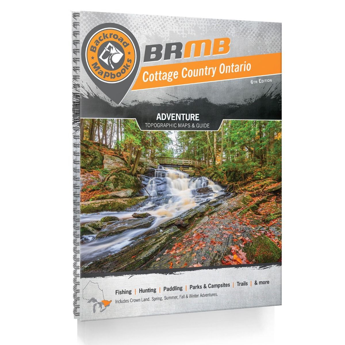
Backroad Mapbooks Cottage Country Ontario - 7th Edition
Backroad Mapbooks
$29.95 CAD
( / )
Unavailable
Please select all options.
-
From the charming lakeside cottages of Muskoka and Kawartha and the natural splendour of Algonquin Provincial Park to the bustling city streets of Ottawa and Toronto, this Mapbook is your ultimate guide to one of the country's most popular outdoor recreation destinations. Known as the heart of Ontario's outdoors, Cottage Country is home to thousands of scenic lakes and rivers, vibrant forests, sandy beaches, and the rugged and rocky Canadian Shield. Algonquin Park is one of the world's most popular canoeing destinations, attracting people from far and wide to paddle, camp, and fish among its iconic natural beauty. Paddle along a circuit of quiet lakes and meandering rivers, hike a portion of the Trans Canada Trail as it travels from St. Charles to Ottawa, or discover historic sites and museums in downtown Ottawa. No matter where your adventure takes you, there is plenty to explore in this beautiful region.
The new 7th Edition of the Cottage Country Ontario Backroad Mapbook features many cartographic changes and updates including new symbols for readability, updated road systems including added Overland Routes, updated Fish Species and stocking information, updated Trail Charts and Trailhead locations, the addition of new Bonus Adventure sections, and much more.
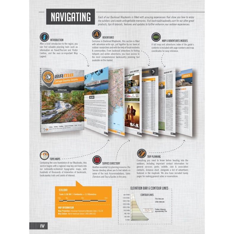
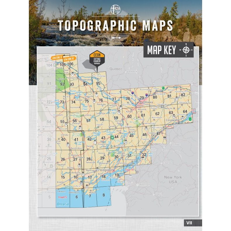
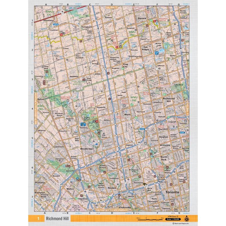
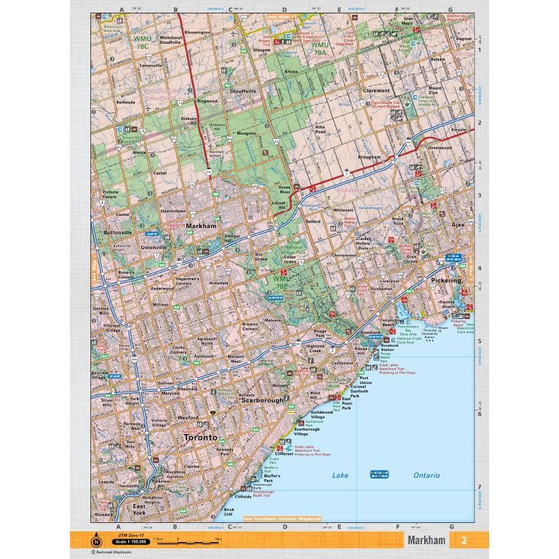
The printed version of the mapbook comes in the convenient 21.5 x 28 cm (8.5 x 11 inch) mapbook format with a heavy-duty spiral-bound cover. The 256-page book includes 106 maps at a 1:150,000 scale, along with 10 main Outdoor Adventure sections, new Bonus Adventure sections, a Service Provider Directory, Map and Adventure Index, Trip Planning tools and more. With over 140,000 kilometres of roads to view including the most complete logging and industrial road coverage available, the maps are ideal for navigating on road trips and planning from home.
-
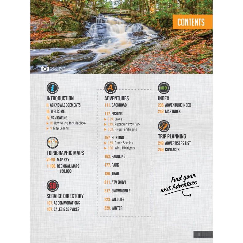
- Map Key & Legend
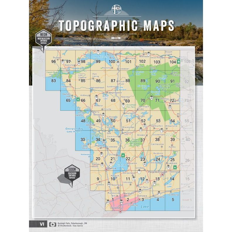
- Topographic Maps: 106 @ 1:150,000 Scale Maps
-
Detailed Adventure Section
- 100+ Backroad Attractions
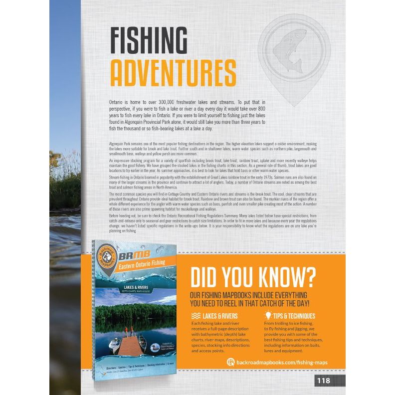
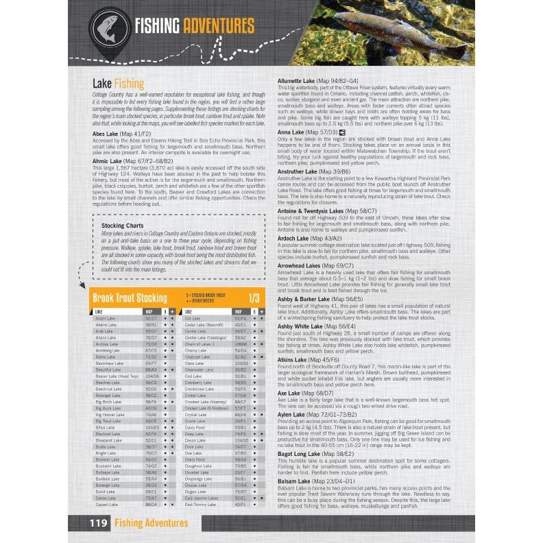
- 875+ Fishing Locations
- 50+ Hunting Areas
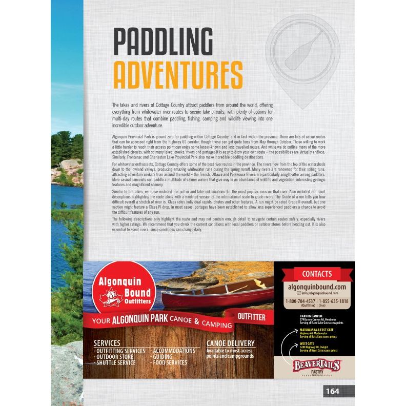
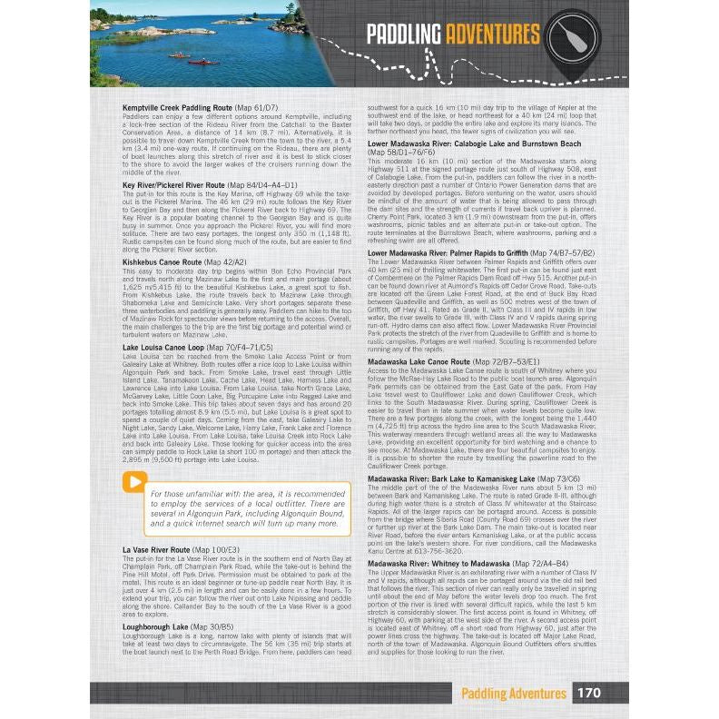
- 125+ Paddling Routes
- 150+ Parks & Campsites
- 300+ Trail Systems
- 60+ ATV & Overland Routes
- 60+ Snowmobile Areas
- 95+ Wildlife Viewing
- 80+ Winter Recreation
- New Bonus Adventure sections for Backcountry Huts/Cabins, Beaches, Rock Climbing, and Surfing (85+ sites)
-
Service Directory
- Accommodations
- Sales & Services
- Tours & Guides
- Index
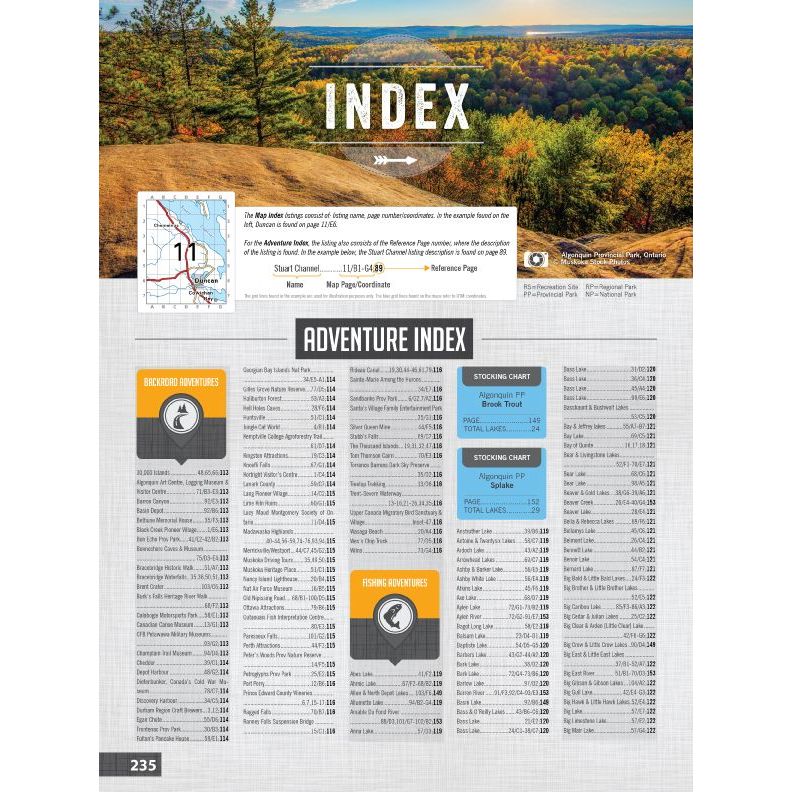
- Adventure Index
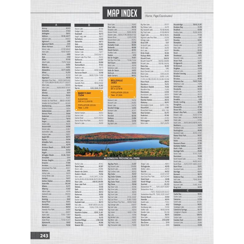
- Map Index
- Trip Planning Tools
-
- Released: 2023
- Pages: 256
- Dimensions: 21.5cm x 28cm (8.5" x 11")
- Map Scale: 106 maps @ 1:150,000
- Map Features: Highways, Logging Roads, Land & Water Features, Parks, Adventure Points of Interest, Campgrounds, Hiking Trails, Motorized Trails, Paddling Routes, Hunting & Fishing Areas, Winter Recreation and more
-
Areas Covered: Bancroft, Barrie, Barry’s Bay, Belleville, Brockville, Cornwall, French River, Haliburton, Huntsville, Kingston, Minden, North Bay, Ottawa, Parry Sound, Pembroke, Peterborough, Perth, Petawawa, Renfrew, Toronto, Trenton, & more
62209800267


