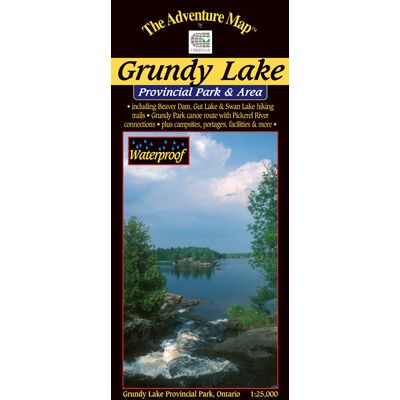
Chrismar Grundy Lake Area Map
Chrismar
$8.95 CAD
Please select all options.

This 3636-hectare provincial park is one of only a few that prohibit motor boats so you'll be assured of an especially quiet, peaceful visit when paddling one of the lake or river routes shown on this map. There are also several excellent hiking trails meandering across rocky outcrops of the Precambrian Shield.
Our map cover parts of the Pickerel River and other lands outside the park as well. It's easy to get to about an hour north of Parry Sound via Hwy 69 which runs along the west boundary.
This 1:25,000 scale topographic map has unprecedented detail, and includes access points, campsites, portages, plus many other features. For example, every campsite in the car campground is shown, as are parking spots, toilets, major buildings (minor ones too) and much more.
The back side includes a complete description of natural and human history, local attractions, paddling and hiking routes, safety concerns, contact info and fine colour photos.
9780929140537


