Chrismar Missinaibi Map
Chrismar
$16.95 CAD
( / )
Unavailable
Please select all options.
-

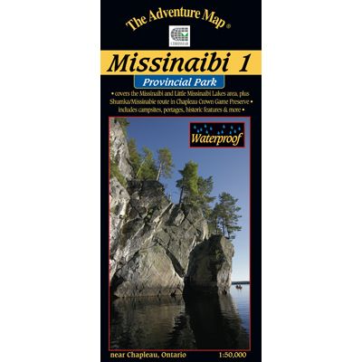
Most serious paddlers have heard of the Missinaibi River - the longest unbroken stretch of paddling river in Ontario - but that's not what this map is about. This map is about the lakes and headwaters that eventually become the river, and in many ways this area is much better.
There are two major lakes on this map - Missinaibi Lake and Little Missinaibi Lake. The former has main arms over 43 kilometres long with numerous bays and islands, superb fishing, great cliffs and some of the continents finest examples of aboriginal pictographs. There is plenty of lake here for several weeks of superb canoe or even better kayak paddling.
Little Missinaibi Lake is quite different than her bigger relative - narrow and convoluted like a pretzel - but with equally fascinating cliffs, old-growth trees and pictograph sites. A very challenging whitewater river joins the two, with an alternative flatwater route with portages preferred by most.
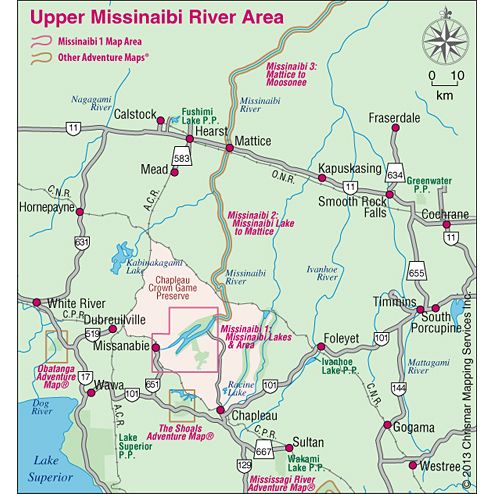
But that's not all this are has to offer. There is also a small, but nicely situated, campground on Missinaibi Lake, at the end of the access road from Chapleau. Also included on the map are a lot of fine paddling areas outside the Park, in particular the Shumka area that makes a great wild paddling loop from "big and little Miss" south and west to the railway and back. The railway is key because it means you can access the area from as far away as Sudbury. No need to drive - just throw your canoe and gear on the train and get off and on where you want.
But the drive is also worthwhile because this entire map is smack dab in the middle of the Chapleau Crown Game Preserve - the largest of its kind in the world. Wildlife is not hunted or trapped here so you're likely to see more than usual - big moose, bald eagles, osprey, black bear, and more.
This waterproof, 1:50,000 scale, completely original topographic map has unprecedented detail, and includes backcountry campsites, portages, access points, points of historical interest, plus many other features such as a campground map enlargement and a special section on pictographs.
The map measures 26" x 32.5", has a contour interval of 10 metres, and includes text and photos about natural and human history, canoe route descriptions, safety tips, contact info, great colour photographs - in short just about everything you'd want to help you plan and enjoy your trip.
-
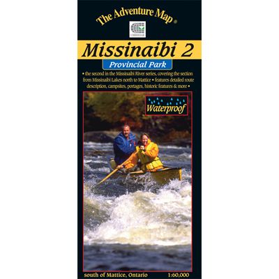
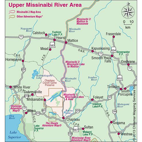
Most serious paddlers have heard of the Missinaibi River - the longest unbroken stretch of paddling river in Ontario - but that's not what this map is about. This 2nd guide in the Missinabi series covers the route from the north end of Missinaibi Lake to the Town of Mattice, a distance of 191 water kilometres.
The big feature of this section of the route is the abundance of challenging whitewater rapids, and while there are portages to get you around the ones you don't wish run, there are plenty that will give you a great ride.
Access to this area can be a challenge so Chrismar spent some time providing information about the various options (car, train, outfitters, shuttles, etc.), in addition to a comprehensive route description and other features to help you plan and take your trip.
This route also has, and the guide discusses and shows in some detail, the Hudson Bay Company fur trading post on Brunswick Lake. While the buildings are long gone, you can still visit the site of one of the HBC's most important posts, and the place where the arch-rival Northwest Company battled, sometimes literally, for fur-trading supremacy in the New World.
This waterproof, 1:60,000 scale, completely original topographic map has extraordinary detail, and includes text and photos about natural and human history, canoe route descriptions, safety tips, contact info, great colour photographs - in short just about everything you'd want to help you plan and enjoy your trip.
-
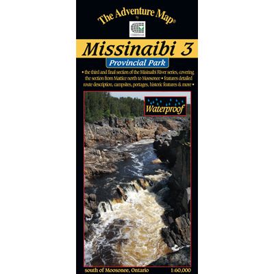
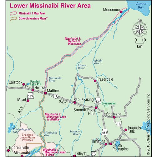
Most serious paddlers have heard of the Missinaibi River - the longest unbroken stretch of paddling river in Ontario. This 3rd guide in the Missinabi series covers the route from the Town of Mattice all the way downstream or northward to Moosonee near James Bay, a distance of 314 water kilometres.
The first part of the route has an abundance of challenging whitewater rapids, and while there are portages to get you around the ones you don't wish run, there are plenty that will give you a great ride.
One big feature of this section of the route is the big drop-off at the Thunderhouse Falls area from the Precambrian Shield onto the Hudson Bay Lowlands. After the maelstrom of falls, chutes, rapids and canyons the river turns sharply, slows and broadens on its unimpeded run to Moosonee, and just beyond it, James Bay.
Access to this area can be a challenge, so Chrismar spent some time providing information about the various options (car, train, plane, outfitters, shuttles, etc.), in addition to a comprehensive route description and other features to help you plan and take your trip.
The guide also discusses and shows in some detail, how the fur trade defined much of the early exploratory history of Canada. You can still visit the site of Hudson Bay Company's posts, and the places where its arch-rival Northwest Company battled, sometimes literally, for fur-trading supremacy in the New World.
This waterproof, 1:60,000 scale, completely original topographic map has extraordinary detail, and includes text and photos about natural and human history, canoe route descriptions, safety tips, contact info, great colour photographs - in short just about everything you'd want to help you plan and enjoy your trip.


